C-Map Reveal Rhode Island to Virginia , Block Island RI – M-NA-Y641-MS
$182.76
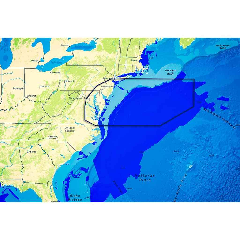
Reveal – US Atlantic – Rhode Island to Virginia, Block Island RI to Norfolk VA Perfect for fishing and diving enthusiasts, C-MAP Reveal charts deliver ultra, high-resolution images of structure, wrecks, isolated reefs and ledges on the sea floor, plus full navigation capability – all at a more affordable price than other charts in its category. Features: High-definition C-MAP Reveal layer for selected coastal and offshore areas Reduces search time with immediate high-definition display of bottom structure, wrecks, isolated reefs and ledges 11 local charts for U.S. coastal area C-MAP Reveal maps available on SD card Easy to use – simply turn on Shaded Relief setting in chartplotter C-MAP Reveal charts contain full C-MAP MAX-N+ vector navigation data, including new features like High Res Bathy, Custom Depth Shading, Genesis layer and satellite imagery Includes detailed marina and port plans